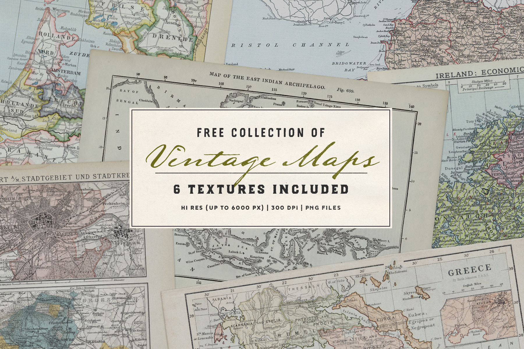

This free six-piece antique map set offers a collection of high-resolution scans derived from old public domain books. Spanning seven decades from 1850 to 1920, these vintage maps are a visual representation of the past, capturing the geographic understanding and artistic style of that era.
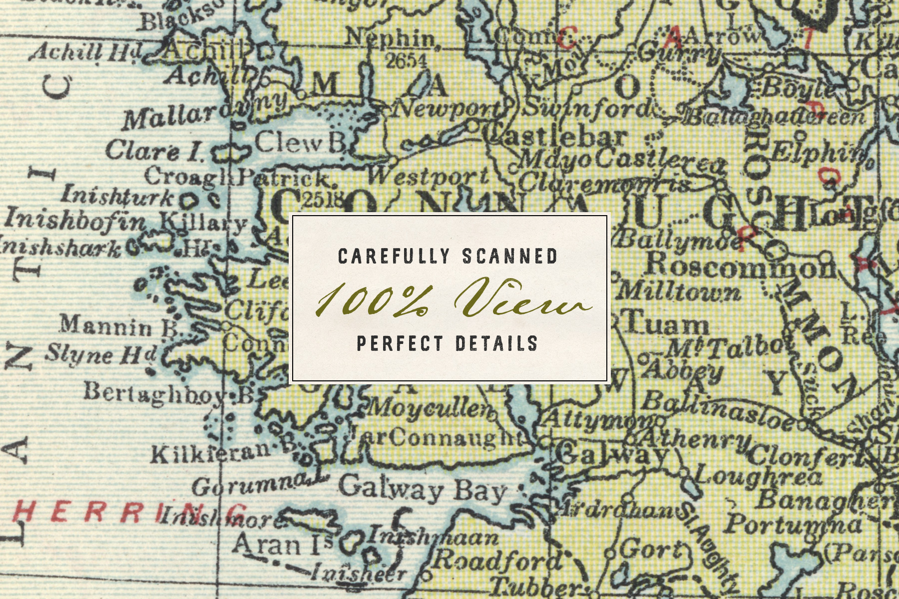
Each of these maps is of exceptional quality and high resolution, with image sizes reaching up to 6000px on the longer edge. Thanks to that they can be used in a variety of graphic design projects and are perfect for high-quality prints even in bigger sizes.
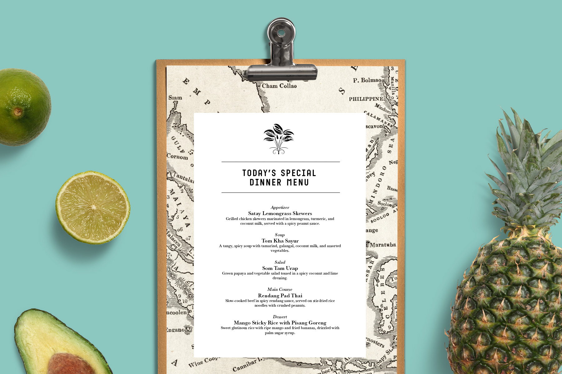
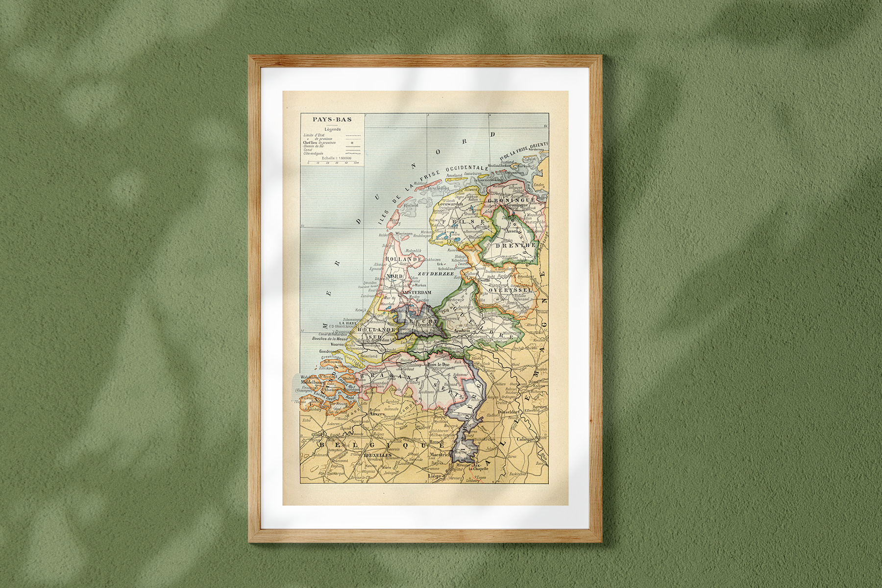
These graphics have potential uses in various vintage-inspired design projects, where they can be used as unique textures or backgrounds. Additionally, they can be considered stand-alone pieces of art, ready to be printed and displayed. Scrapbook creators and decoupage artists may also find them a useful resource.
Features:
- 6 maps included
- Hi-res 300 DPI PNG files
- up to 6000px on the longer edge
- Free for personal and commercial use